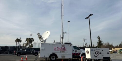
We use our mobile phones for all sorts of activities, and increasingly, they are our principal tool to make emergency calls. Today, consumers take for granted they can call 911 from a highway accident scene or while driving past one, from a park when someone is going into cardiac arrest, and even while lost in a corn maze. The mechanics behind those wireless 911 calls, however, are much more complicated than most consumers realize, and their success depends upon the close collaboration of a variety of technologies and organizations.
Over the past twenty years, wireless carriers, manufacturers, and the public safety community, have collaborated to develop solutions for a number of exceptionally difficult problems, including how to route cellular 911 calls to the correct public safety answering point (PSAP), to complete 911 calls for non-subscribers, and to allow first responders to locate callers who are unable to tell the PSAP where they are. As technologies and wireless coverage have improved, the carriers and PSAPs have continued to enhance these solutions, deploying increasingly robust location, routing, and call completion capabilities.
Earlier this year, I wrote about the future of emergency communications. But right now, regulators in Washington, DC are reviewing another important issue for 911 calls – indoor location accuracy. T-Mobile is proud to be an architect of a landmark agreement between the four national wireless carriers and two major public safety organizations, NENA and APCO, to further improve location accuracy for 911 calls, including for calls made indoors.
Rather than merely extend the current approach of providing latitude and longitude coordinates to public safety, which doesn’t provide the precise information needed by public safety to respond most effectively, especially in multi-floor and multi-unit buildings, this “Roadmap” agreement sets a fundamental new course. It leverages existing technologies, like Wi-Fi and Bluetooth, to deliver an indoor caller’s “dispatchable location” – physical address including information such as floor, suite, or apartment – to the PSAP. This allows public safety to benefit from the enormous resources that are continually invested in the ever-expanding commercial communications ecosystem. As FCC Chairman Tom Wheeler put it, “technologies that already exist and are already widely deployed should be able to provide granular location information … for instance, stores in the mall know when you enter because they bounce a Wi-Fi signal off your mobile handset.”
In addition to implementing dispatchable location solutions for indoor calls, the Roadmap also contains clear, measurable commitments to improve traditional latitude/longitude location solutions for outdoor calls and for indoor calls where a dispatchable location may not be available. In this regard, the agreement provides for developing, testing and deploying technologies that will improve the accuracy and reliability of location information anytime somebody calls for help, by using the most advanced satellite navigation systems and features of our LTE broadband network, as well as Wi-Fi and Bluetooth beacons.
The Roadmap’s consensus approach provides the most effective wireless 911 solution, yielding concrete, measurable results long before we would have seen even modest improvements from the proprietary solutions being hyped by some vendors. NENA and APCO had the vision to push the carriers to go well beyond their comfort zones, resulting in an agreement that benefits both consumers and the first responders who serve them. The FCC has requested public comment on this Roadmap, and we hope it will be approved quickly so we can roll up our sleeves and get to work implementing the solutions.